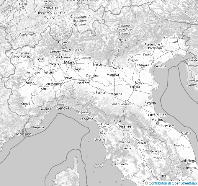
The input data in this case are the NetCDF files provided by the excellent ArCIS (Archivio Climatologico per l’Italia Centro Settentrionale) project, more precisely version 3.1 of 2026-04 containing daily precipitation data on a regular grid of about 5 km in resolution over north-central Italy for the time span 1961-2025.
The post-processing is performed offline once for all and involves computing monthly, annual and moving decadal statistical aggregates (average and quantiles). To compare and identify trends, for annual and decadal also the difference versus decadal aggregates is computed, respectively against the moving 10-years window ending with the current year and the reference decade (1961–1970).
The output data are compressed WEBP raster files that are fetched by the static frontend using the Alpine.js JavaScript micro-framework and overlaid on top of a static map of the territory.
(click on the blocks to see the detail information)